The Lowrance company - a real story
Lowrance is a company that manufactures marine electronics. They produce fishfinders, sonar systems, GPS chartplotters, and other electronic devices. The company was founded in 1957 by Jack Lowrance and his wife Peggy in the basement of their home. The company’s first product was an electric fishing reel designed to be used with a trolling motor. After releasing the first series of sonar units which are still being manufactured today, they launched their first boat-mountable fishfinder which is also still being manufactured today.
The company has been awarded more than 200 patents for its products and technologies mounted to all fishing boats throughout its history.
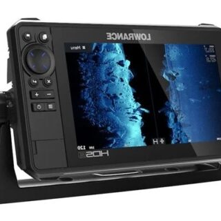
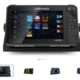
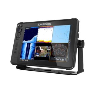
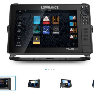
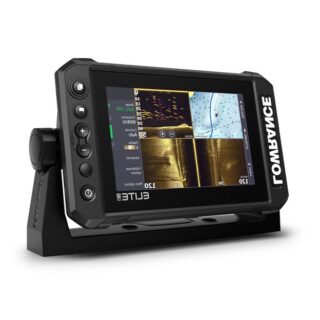
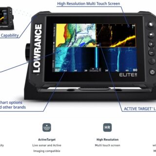
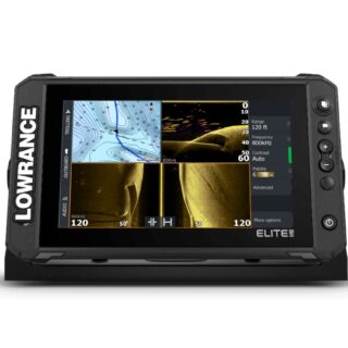
Chart plotters from Lowarance are designed mainly for fishing reasons - best price
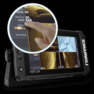
Lowrance chart plotters are a type of navigation equipment that is used to displays maps, charts and other navigational information on a screen of your cabin boats. It is often used by sailors to find their way through the ocean. Chart plotters have installed a depth sounder, a device that is used to measure the depth of water. It has been designed to use the sound waves to calculate the depth of water. A Lowrance depth sounder is typically used for fishing, boating, and other recreational purposes. It can also be used for military purposes such as detecting submarines and mines.
Halo radars and VHF radios for sale from American engineers
Radar is a device that measures the distance to an object by bouncing a radio wave off it and measuring the time it takes for the wave to return. This can be used to detect objects such as aircraft, ships, motor vehicles, weather formations, and terrain. It is an obvious device on pilothouse boat.
A radar system consists of four basic parts: a transmitter, receiver, antenna and display. The transmitter sends out pulses of radio waves in all directions at regular intervals. The receiver picks up these pulses and measures their strength and direction. The antenna is designed to send out radio waves in one particular direction and receive them from the same direction. The display shows the results as lines on a screen or dots on a map which represent different types of objects in various colors depending on their height above ground level.
